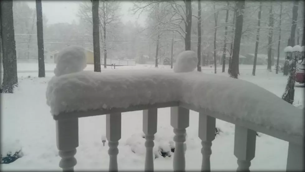
Lansing Dropped From Winter Storm Watch
As a late winter storm heads for Michigan Wednesday into Thursday, forecast models today show a positive trend for the Lansing Area. Because of this, The National Weather Service has dropped Eaton and Ingham Counties from the Winter Storm Watch set to take effect Wednesday at noon. But, that doesn't necessarily mean we are out of the woods as far as winter weather is concerned.
The NWS forecast for Lansing, as of Tuesday at 10:45 AM, calls for a wintry mix still Wednesday night into Thursday morning. But, expected snowfall totals for the Capital City have been downgraded to "little or no snow accumulation." This may still change, however, as the storm gets closer.
An article posted Tuesday morning on mlive.com illustrates popular weather models, showing where precipitation is expected to fall as either snow, freezing rain, or rain across the mitten Wednesday and Thursday. These models also point to the probability of temperatures staying warm enough along and south of I-96 to keep Lansing into the mostly rain category. But, any southern variance of the storm's path could change this dramatically.
We will see how things unfold over the next 24 hours as the storm approaches.
More From 94.9 WMMQ


