Significant Snow Expected for Lansing Saturday, Maybe Worse Next Week
We've been dealing with a light glaze of ice here in Greater Lansing the last two days, which hasn't been as bad as the snow/ice whammy on the west side of the state.
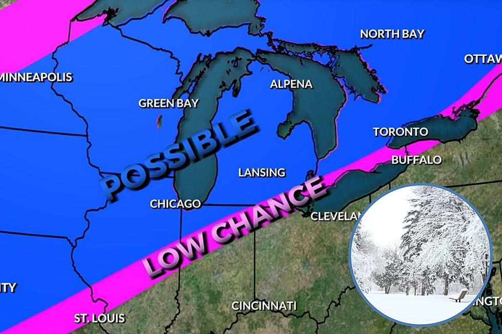
Just a few weeks into our official winter, which has been pretty quiet and mild so far, it looks like Winter has a show for us soon. "Significant snowfall" is expected this Friday night into Saturday (Jan 18-19, 2019), according to WLNS TV 6 Meteorologist David Young at WLNS.
"It still looks as though snow will move into the area late Friday night and continue through much of Saturday. The area for heaviest snow still appears to be near and south of the state line. This storm should produce more snow north of the track though so even in central Mid Michigan we should see a decent amount. I've said this in other posts but it's worth repeating. Systems this winter have ended up further south than what our model guidance indicates so please check back for updates through the week. Assuming things go as expected, here's the breakdown:
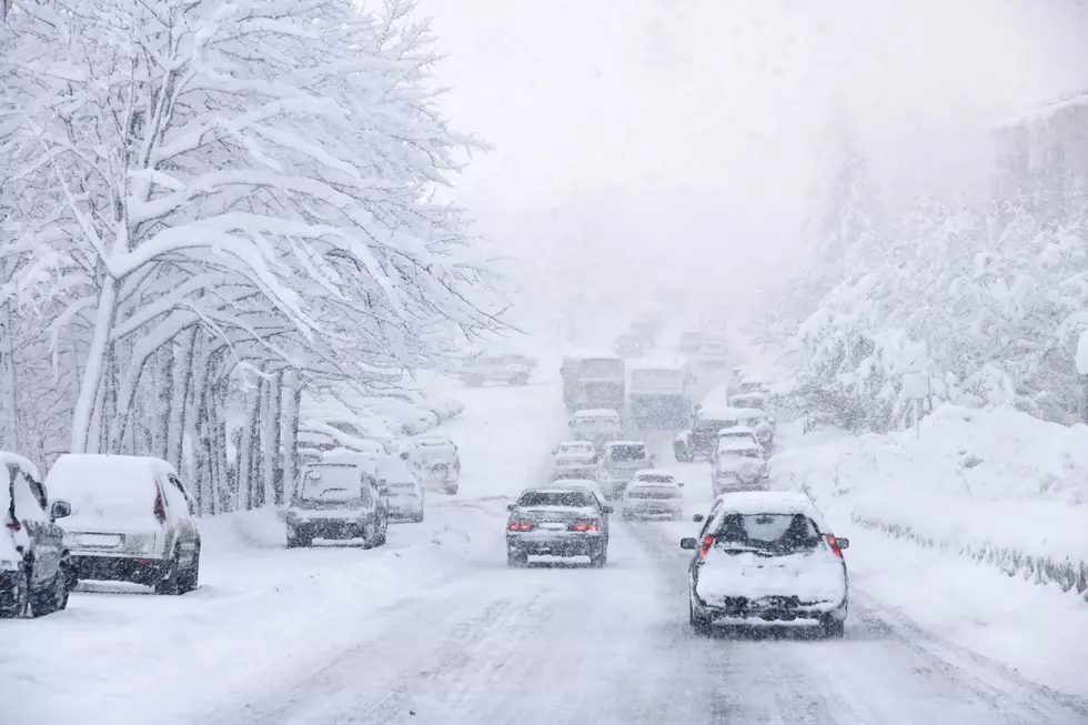
Expect a winter storm to impact the region late Friday night through late Saturday. If you have plans, make a back up plan. You may need it. Remember that we are talking about a storm that does not yet exist. Changes this far out are very likely so check back frequently although confidence continues to grow that we will be shoveling Saturday and Sunday. One final note that we haven't discussed is it will be bitterly cold behind this storm. Lows Sunday and Monday morning may drop below zero and wind chills could be well below zero. As always it's important to keep in mind that we live in a snowy state. This isn't a record breaking system."
And NOAA predicts that the middle of next week, we may could heavy snow and strong winds hit the region.
More From 94.9 WMMQ