Here We Go Again, Serious Snowfall Possible Next Week
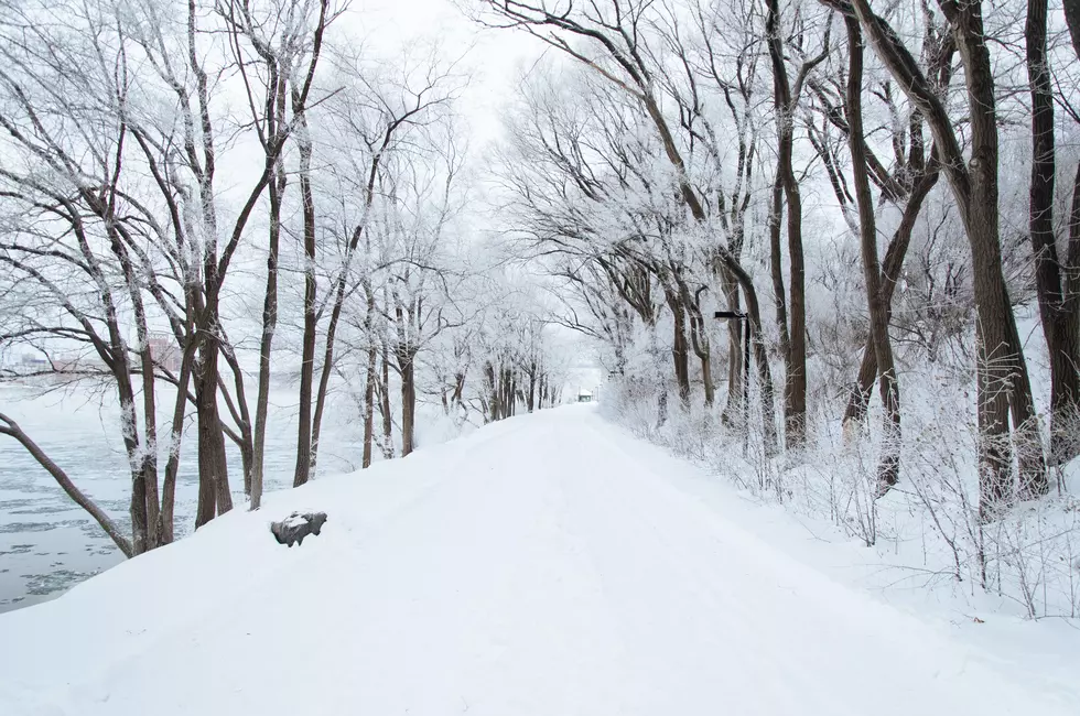
The Polar Vortex continues, as our weekend weather is very cold winter weather. We’ll see a few snowflakes today, light snow is likely Saturday, continuing into the evening. Saturday looks like a 1 to 2 inch snowfall, with highs in the low 20s and lows Saturday night in the single digits. Sunday will become mostly cloudy and cold, with our highs only upper teens.
ClickonDetroit reports The core of this current Arctic surge arrives Sunday night and Monday, with lows Sunday night well down into the single digits (-16 degrees Celsius), and highs Monday only in the mid teens (-9 degrees Celsius). There could be some light snow on Monday.
Weather models disagree on Tuesday’s storm. We know we’ll get snow, but the models disagree heavily where the surface low pressure area is going to be, and that will make a big difference in the amount of snow that we get. One model forecasts about 3 inches of snow, while the other model is looking like 4 to 8 inches.
MLive reports The heavy lake effect will come on a north-northwest wind. This wind flow keeps the heavy snow close to the Lake Michigan shoreline. So expect heavy snow Sunday from Benton Harbor north to South Haven and Grand Haven, and all along the shoreline up to the Traverse City area. Leelanau County can get especially heavy snow in this situation. On the Lake Huron side, the Alpena area could have localized heavy snow. The eastern half of the Thumb could also see heavy snow. Of course anywhere in the U.P. could be in heavy lake effect snow with a north-northwest wind.
Forecasters are saying to count on shoveling snow on Tuesday. And there is a Thursday storm brewing as well, one model almost misses us completely, while the other promises a solid snowfall. The pattern change we will see next week is going to be one of the more intense storms, as opposed to the weaker systems recently affecting us.

Winter weather patterns change quickly, and the snow storms we’re looking at for next week can still change this far out, even though we have a pretty good idea of what’s possible. Keep your eye on the forecasts over the next week, and plan accordingly.
."}" data-sheets-userformat="{"2":33557249,"3":{"1":0},"11":4,"12":0,"14":[null,2,0],"28":1}">
MORE TO EXPLORE: A Look Inside the Devil's Ice Box
More From 94.9 WMMQ


