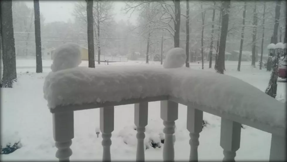
Another Winter Storm Barrels Towards Mid-Michigan
The National Weather Service has issued a Winter Storm Watch for Lansing, effective at noon on Wednesday, expiring Thursday night at 8:00pm. As of 1:00pm Monday, only the counties of Clinton, Eaton, Ingham and counties north and west are under the advisement. However, counties to the east may also be added by another NWS bureau in White Lake, MI.
There are still plenty of questions regarding the storm track. The NWS advisory calls for the potential of 8 or more inches of wet snow north of a line from Holland to Lansing, and a wintry mix for points south of that line. Temperatures south of the front will likely keep places like Jackson and Battle Creek in the rain only zone. However, as the storm approaches, the storm track may shift a bit north or a bit south. If the track moves south, expect a heavy, wet snow to blanket Lansing. If the track stays north, the snow should as well.
By comparison, the NWS weekly forecast for Lansing calls for 4-5 inches of snow, beginning Wednesday afternoon. The Weather Channel calls for a couple of inches of snow, but mainly a rain event for Lansing. Accuweather also calls for a mainly rain event, mixing with sleet and snow. Meanwhile, both local TV outlets, WILX and WLNS are not committing one way or another.
The good news, whatever midweek may bring, is that the weekend has sunshine and temperatures in the 50's!
More From 94.9 WMMQ