![Perry Storm Chaser Records Supercell T-Storm + Hail in Shiawassee County [VIDEO]](http://townsquare.media/site/87/files/2021/06/attachment-Supercell-storm-in-Perry.jpg?w=980&q=75)
Perry Storm Chaser Records Supercell T-Storm + Hail in Shiawassee County [VIDEO]
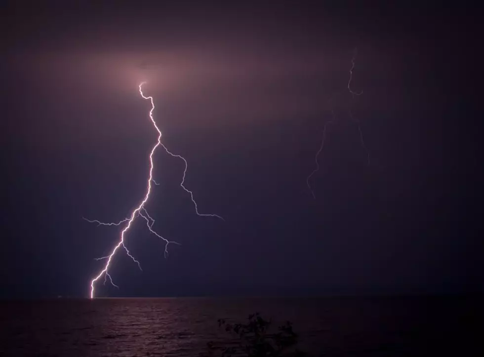
Take a look at the YouTube video below from a storm chaser in Shiawassee County who recorded seeing a supercell thunderstorm that produced golf ball to tennis ball-sized hail.
YouTuber Robert Forry recorded the video on Saturday (6/12) evening as he drove along M-52 (and other areas) just north of Perry, Michigan. He notes in the video that the storm occurred around 6:45 pm.

What is a Supercell Storm?
NOAA, the National Oceanic and Atmospheric Administration, defines supercells as follows:
"Supercells are storms --- usually, but not necessarily, thunderstorms --- that contain updrafts that rotate about a vertical axis. This rotation is derived from shear in the environmental wind field (that is, a change in wind direction and / or speed with height) surrounding the storm as it begins to grow. Supercells often produce damaging wind, large hail, and tornadoes, and most strong to violent tornadoes are associated with supercells."
Michigan Weather Can Change in a Heartbeat
Here's what I found interesting about this video: I live in the Durand area, about two miles east of the Shiawassee County line. I swear, we received -- at the most -- four small drops of rain at the time Forry was recording this video.
Where is Perry?
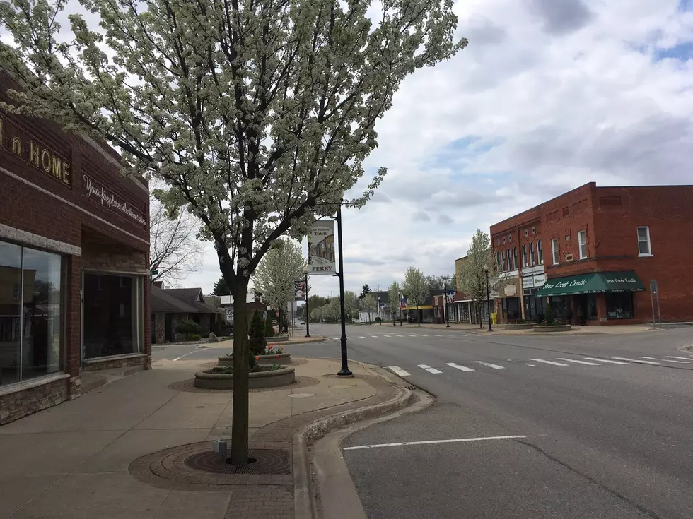
Perry is roughly only about 15 miles southwest of Durand, about halfway between Durand and Lansing. It's about 30 miles (as the crow flies) from Flint.
Baseball-Sized Hail in Ovid
Perry isn't the only location where hail was reported. According to WOOD-TV in Grand Rapids, residents in Ovid, Michigan (about 15 miles northwest of Perry) reported seeing hail that was roughly the size of a baseball. Check out the pictures here.


